Back
Medieval castle mound
Salacgriva was only one of the 22 castles that belonged to the archbishop of Riga. However, it strategically important as it was the only sea port that belonged to the archbishop; it also managed the access to the entire Salaca basin from the sea, the so-called “Salaca Gates” at the time when the port of Riga and Pärnu were controlled by the German Order.
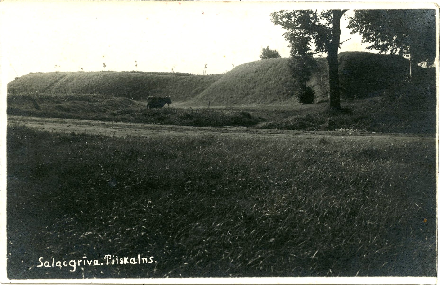
The fragment of the fortification of the Swedish times on the left side; the corner of the fence of the Lutheran church on the right side. The fragment of the dry moat that went around the fortification in the middle. The photo – 1930’s.
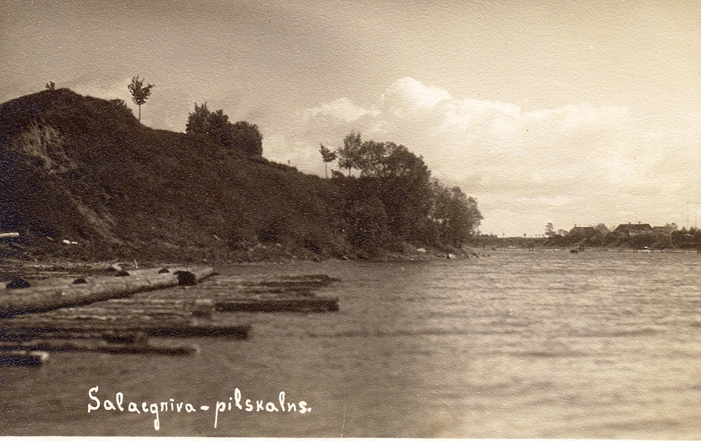
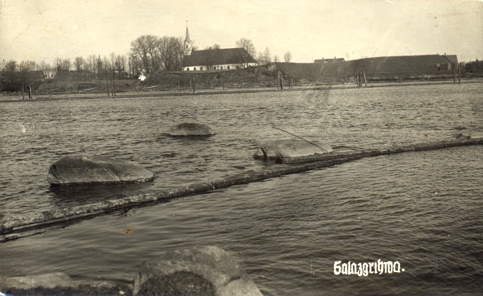
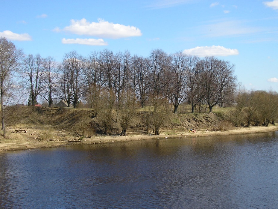
Salacgriva medieval castle mound is less than a kilometre from the mouth of the Salaca River, on the right bank, near the Lutheran church. It consists of the elevation of the terrain – rampart* with earth barriers and bastions. The ramparts with the medieval castle mound in the middle are enclosed by the dry moat connected to the Salaca River. The castle mound is situated so close to the river that some of the protective ramparts were washed into the river during the spring flooding. The rampart that can be seen nowadays is a partially preserved fortification built by Swedes in the 17th century.
Nothing has remained above the ground from the walls of the medieval castle until nowadays. However, there is a large quadrilateral pit up to 1.5 m deep where there once used to be a castle. It could have looked like a tower with stone wall of boulder (14 m x 19 m) with a circular extension from brick in the middle that was enclosed by the outer wall or timber fence. K. Löwis of Menar was only able to measure the foundations of the tower in 1908; he stated that the walls were 2.3-2.5 m thick.
*Rampart – the field fortification with the earth embankments and moats in an enclosed quadrangle. Usually such constructions are connected with fortifications of the Swedish times of 17th centuries.
If the building of the castle in 1226 could be documentarily proven as it was described by a historian and researcher of the Livonian Chronicle of Henry Johann Gottfried Arndt in 1753 would be only a quarter of a century newer than Riga. Unfortunately there is no such a document and the first mention of the Salacgriva castle dates back to 1479.
The port of Salacgriva was mentioned earlier in 1392, in the documents connected to the dispute of the Archbishop and the Order.
The fate of the Salaca Castle influenced by the change of many owners turned out to be a rather unfortunate and unstable. Shortly before Christmas of 1478, 5 ships with 200 of Swedish soldiers whose task it was to assist Archbishop Silvester to protect the castle from the aggression of the Order. However, in January of 1479, the Order occupied the castle and remained in control of it until 1485 when the castle was returned to the Archbishop Hildebrand.
- 1529 - the control over Salacgriva passed to Wilhelm Brandenburg the coadjutor of Archbishop.
- 1555 – the list of the Livonian castles owned by the Archbishop included: “a ruined castle as well as the manor, called Salis, at the mouth of the Salaca River where there used to be a comfortable port.”
- During the Livonian war in 1575 the vassal of Ivan the Terrible – the prince of Denmark Magnuss concurred Salacgriva. Soon afterwards he lost his power and the Russians concurred the castle.
- 1581 - the castle was once again reconquered by the Swede Thomas von Emden.
- After the Livonian War Salacgriva castle was owned by Polish in the composition of Pardaugava Livonian Duchy as a Salacgriva eldership.
- 1621 – Salacgriva was reconquered by Sweden. In 1633 Swedish Chancellor Axel Oxenstierna considered that Salacgriva castle was still able to defend itself and its fortifications were improved by ground ramparts around the castle with bastions on the corners. In 1638 during the land revision Salacgriva was called – a rampart. A schematic plan of the town can be seen on the map of 1690.
- 1699 – Bartholomew Depkins wrote: “Now only three walls remain on a high hill with ramparts and a moat – the walls are built of small stones and the steep hill where the castle is located, lies at the Salaca River”.
- The rampart was once again demolished during the Great Northern War 1702-1704.
- In the 18th century, when Ferzens family took possession of the nearby Vecsalaca manor, baron Gustav Wilhelm Von Fersen established a maritime museum in the part of the castle that was not ruined.
- 1780 - Johann Christoph Brotze drew two tall ruined walls of the castle around which there were ramparts.
- 1842 – F. Kruze published his own approximate measurement of the rampart with the old square cellar in the middle of the plan.
- 1908 – K. Löwis of Menar was able to measure only the foundations of the tower, finding 2.3 – 2.5 thick walls.
- The stones from the ruined walls were later used for the construction of the fence.


